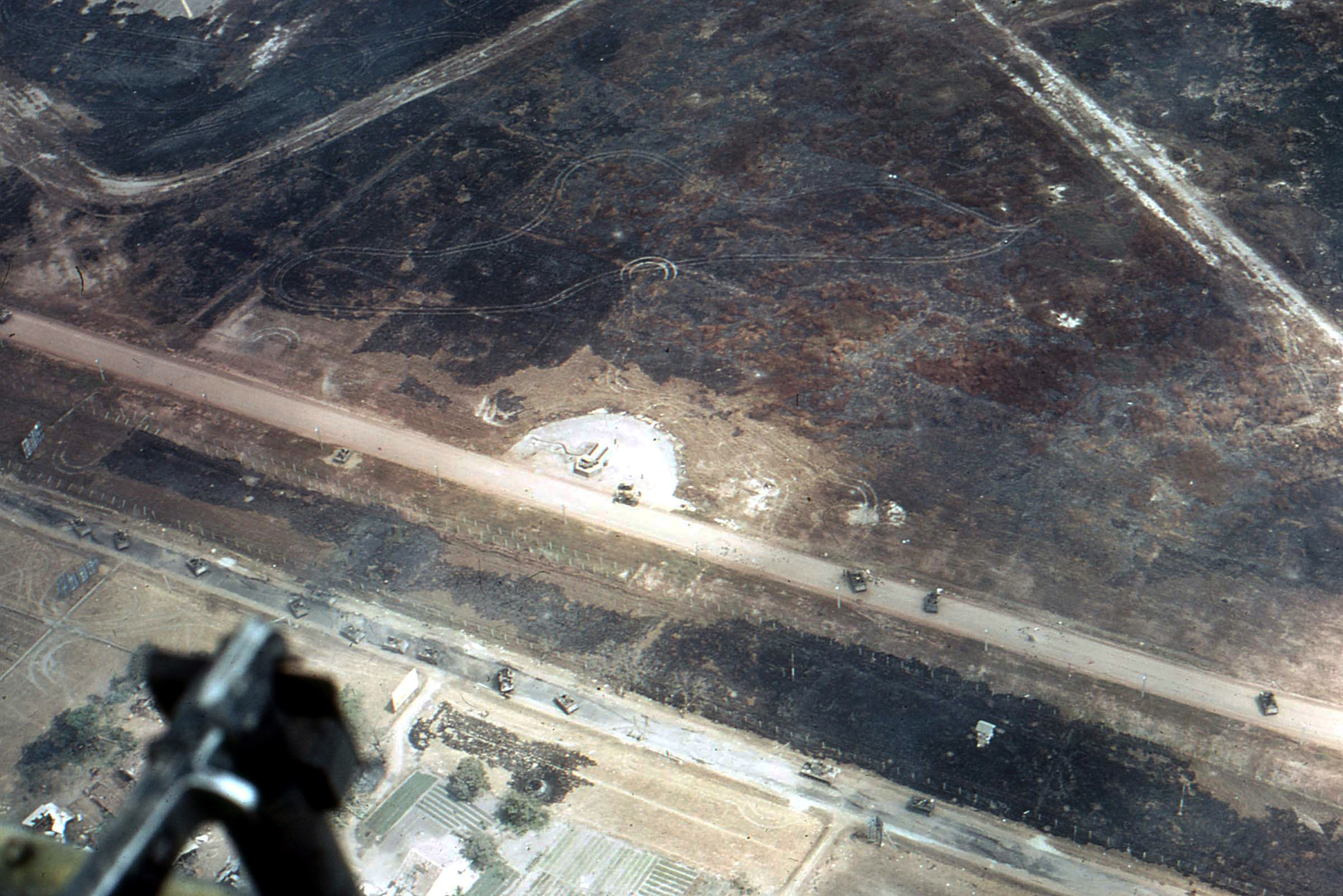
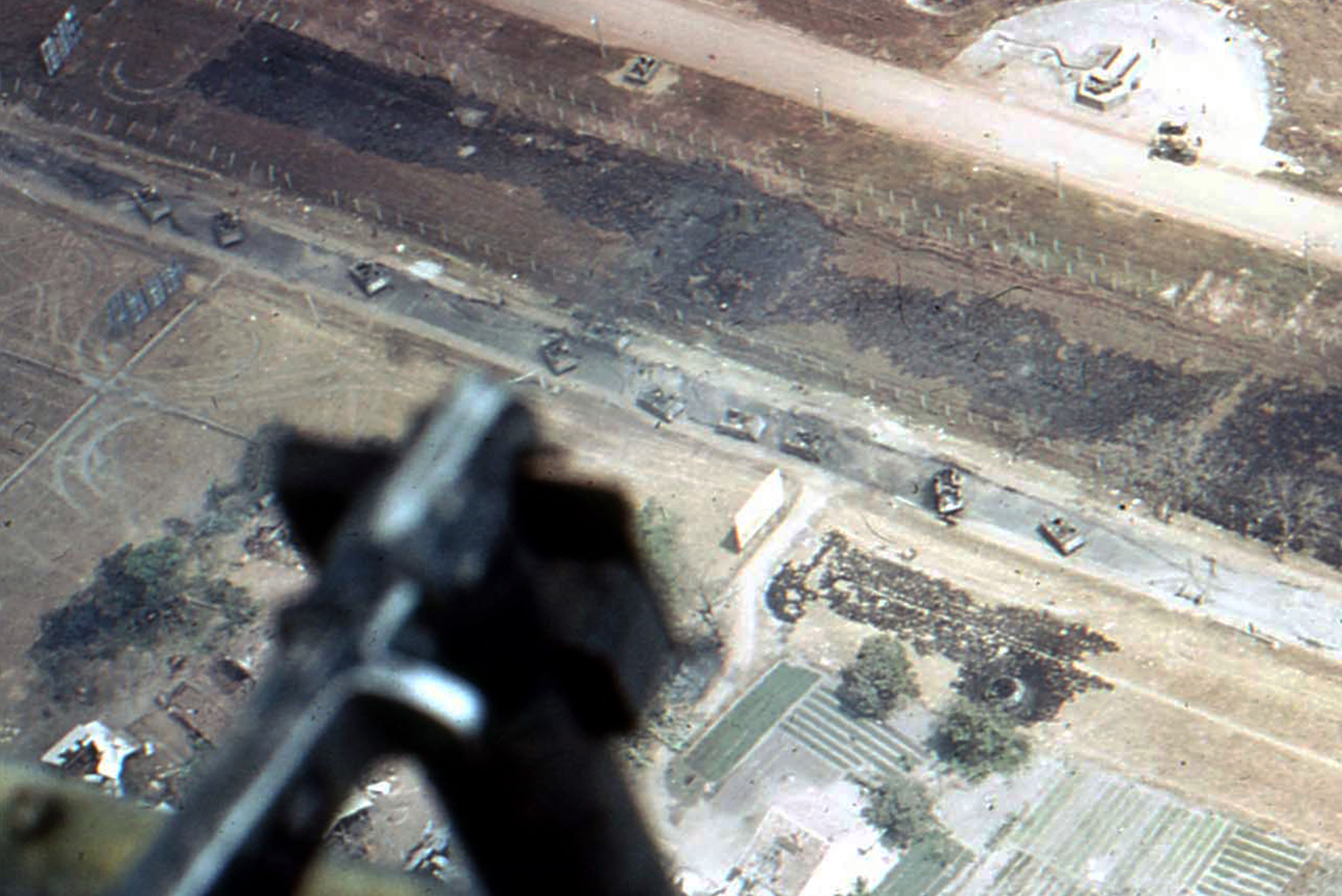
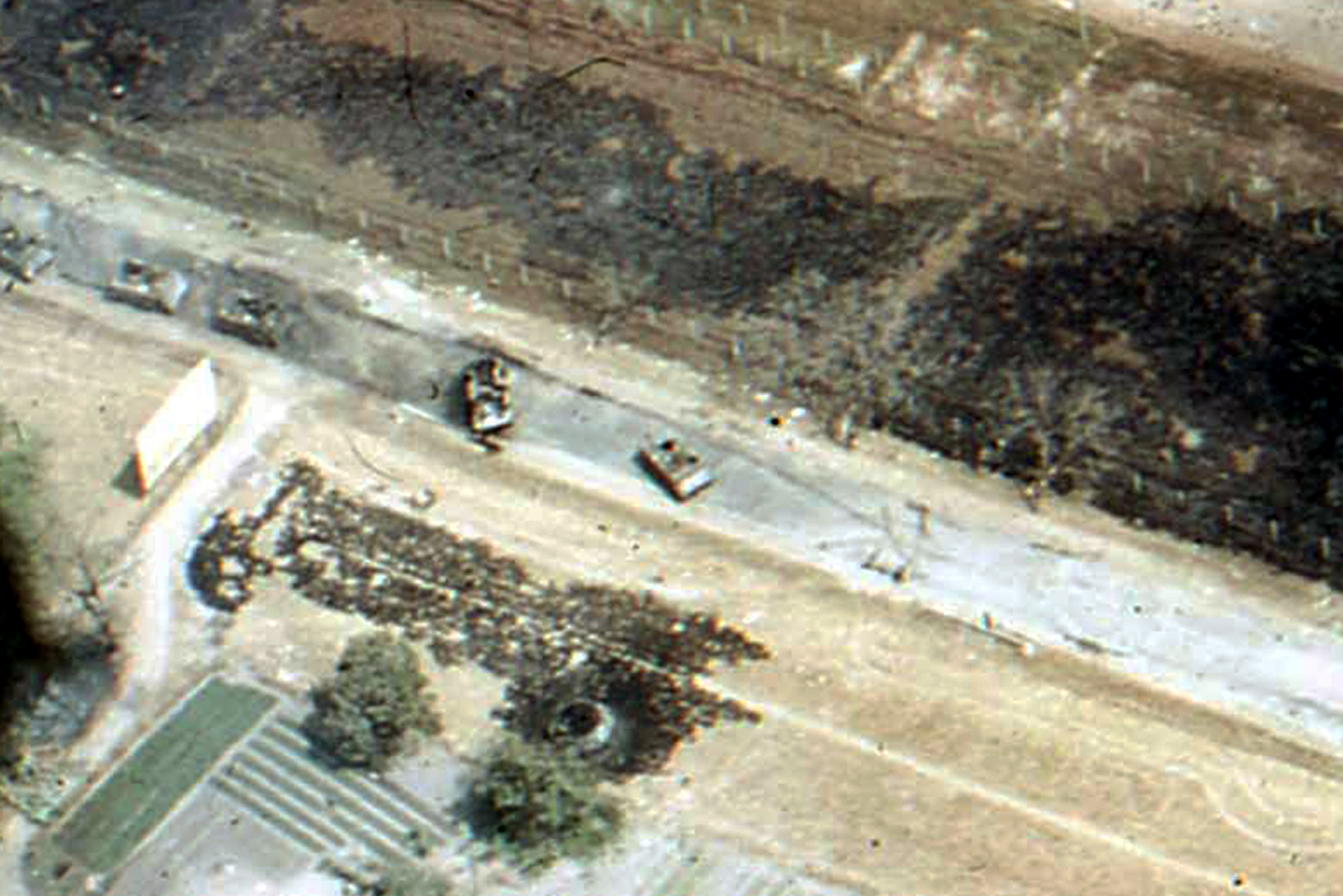
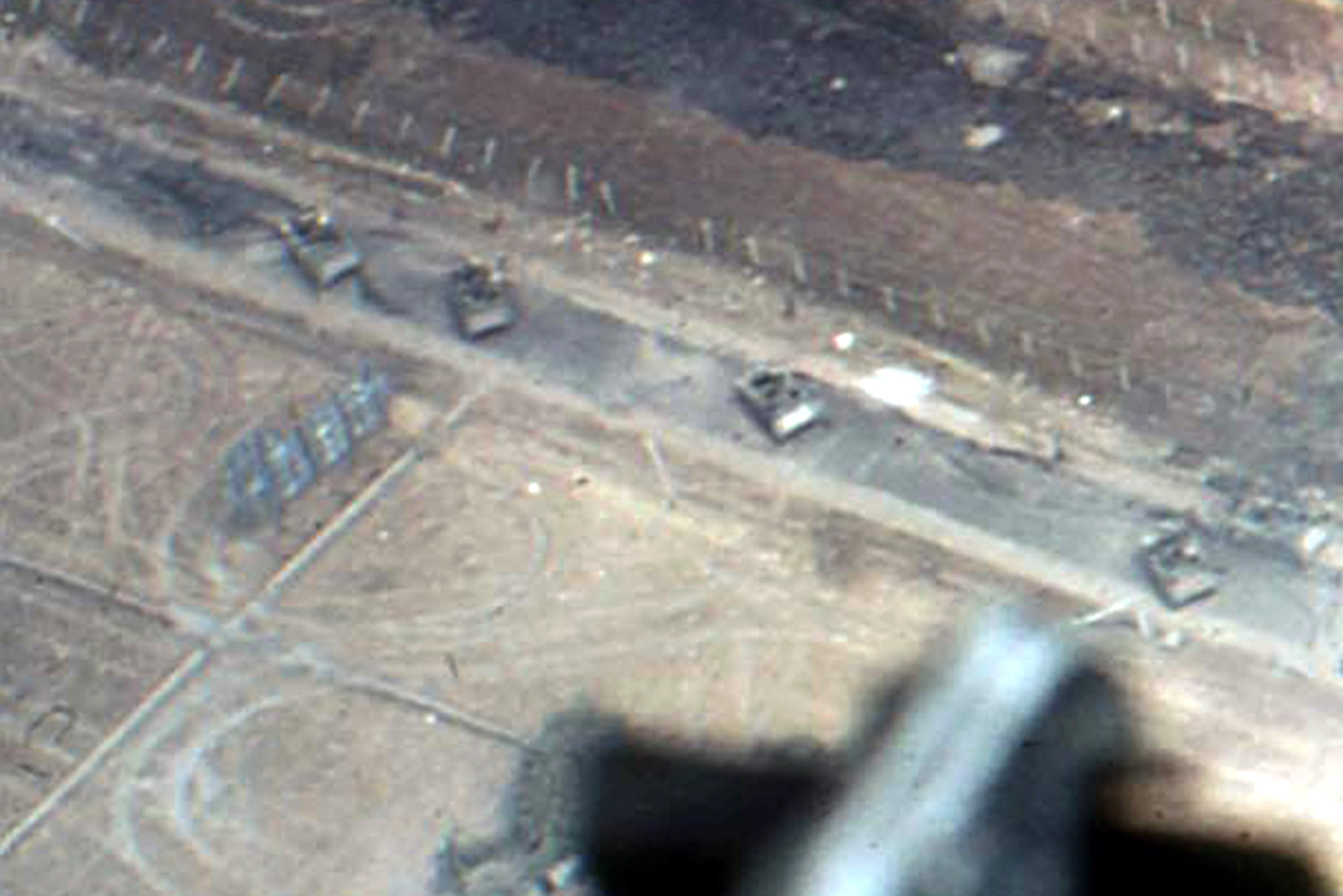
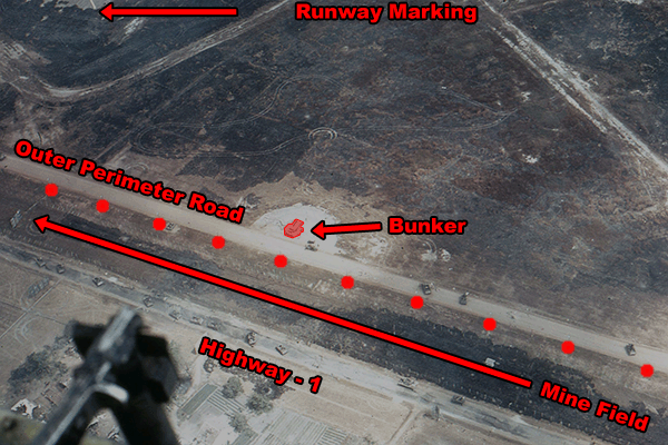
On March 30, 2013, I was asked to look at a color photograph showing some tanks and APCs on the outer perimeter road in Echo Sector.
There were also tanks and APCs on what appears to be Highway-1.
They wanted me to confirm whether or not this pertains to Tan Son Nhut Air Base, on the west end, near the runways.
The color photograph showed an unusually shaped road. I recognize it as being on Tan Son Nhut on the west end.
However, in my opinion, when the photograph was scanned, it was done so backwards. I flipped it back to show what I feel is the proper perspective.
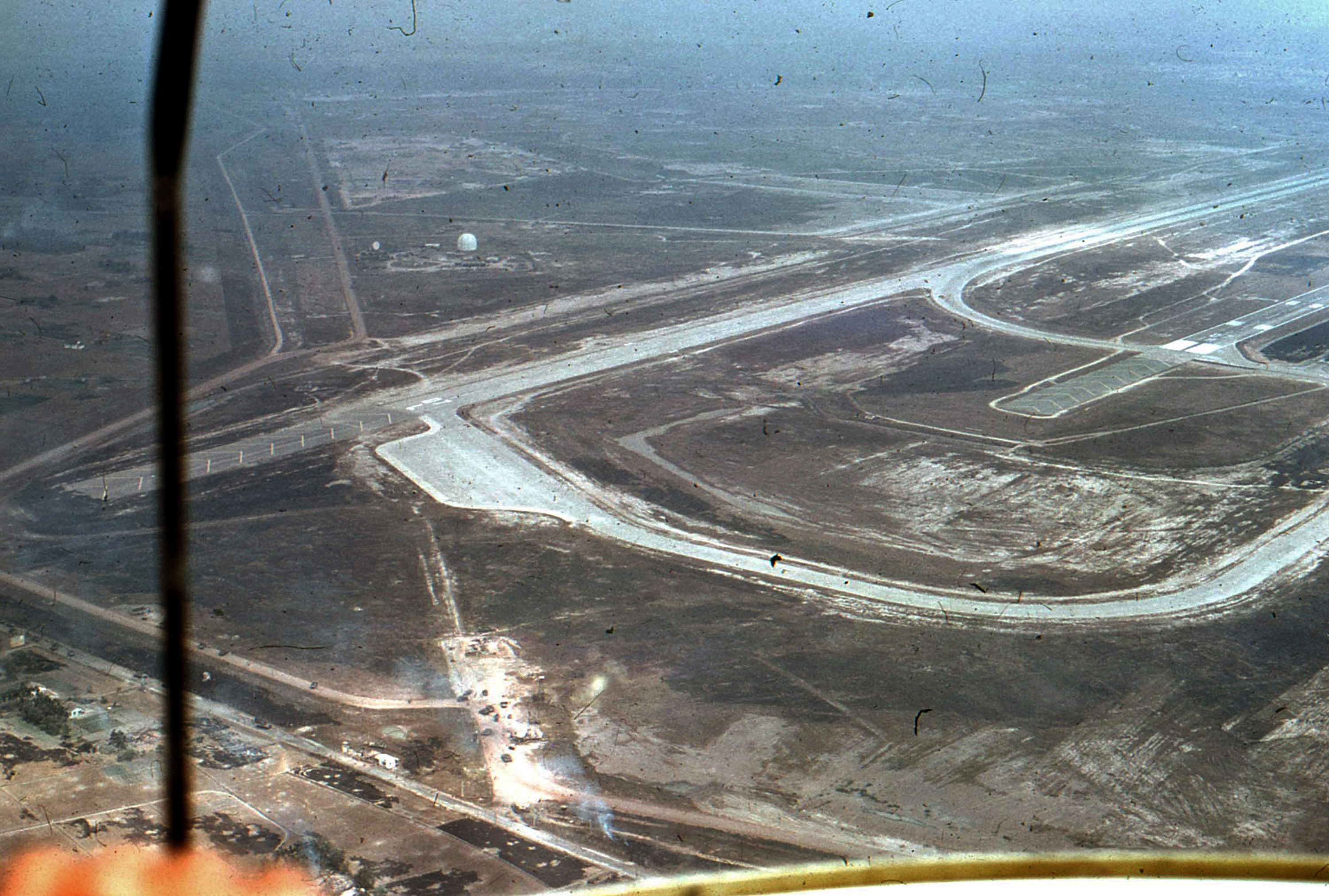
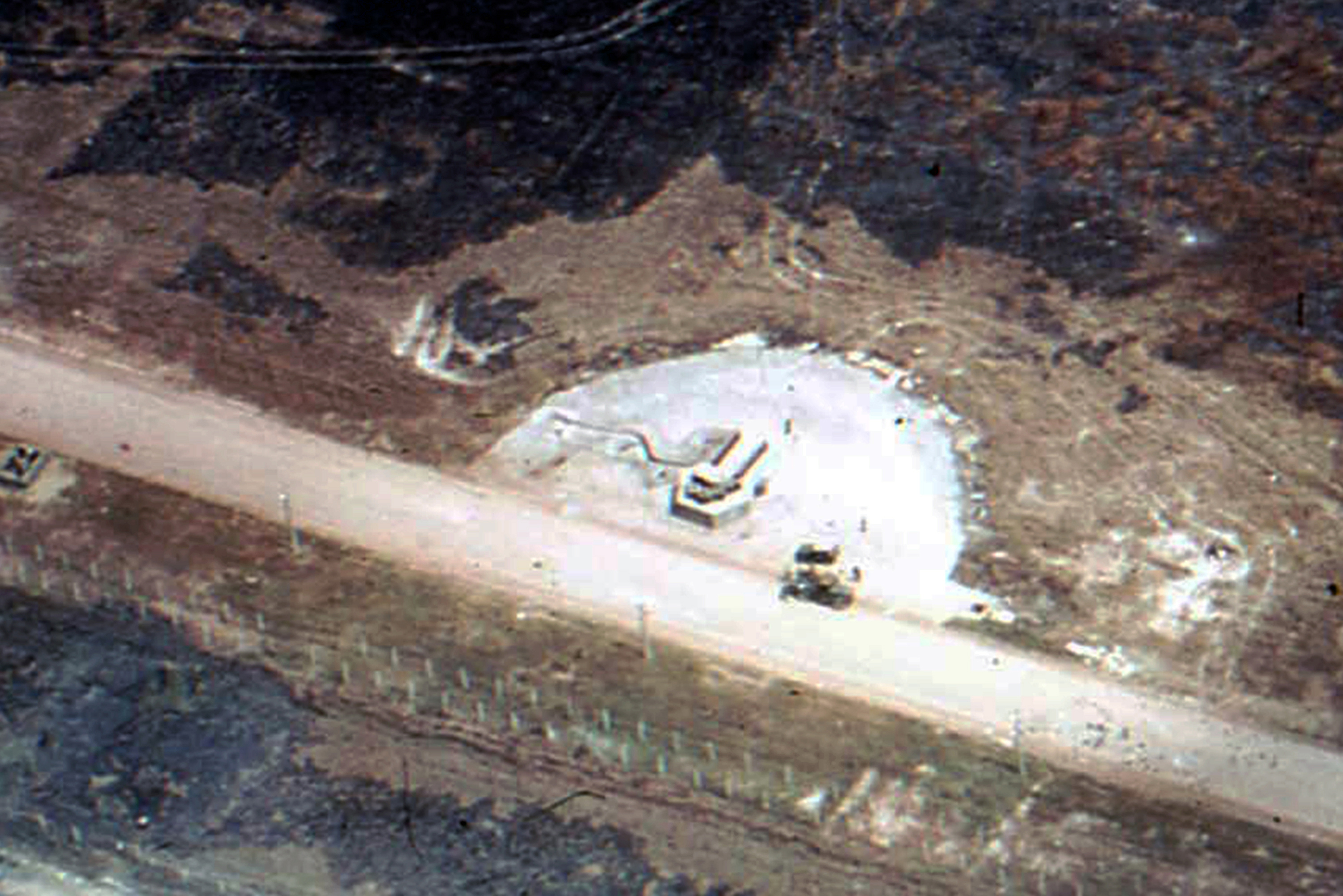
On the color picture, I highlighted the irregularly-shaped road with a red line. I then got a modern-day photograph from Google Earth showing the irregularly-shaped road.
The blinking red dot in the upper left hand corner denotes part of the runway markings.
I took the red lines and superimposed it on the modern photo. The red lines seem to match up.

On this original color photograph, the red dots represent the base of the perimeter lighting, facing outwards.
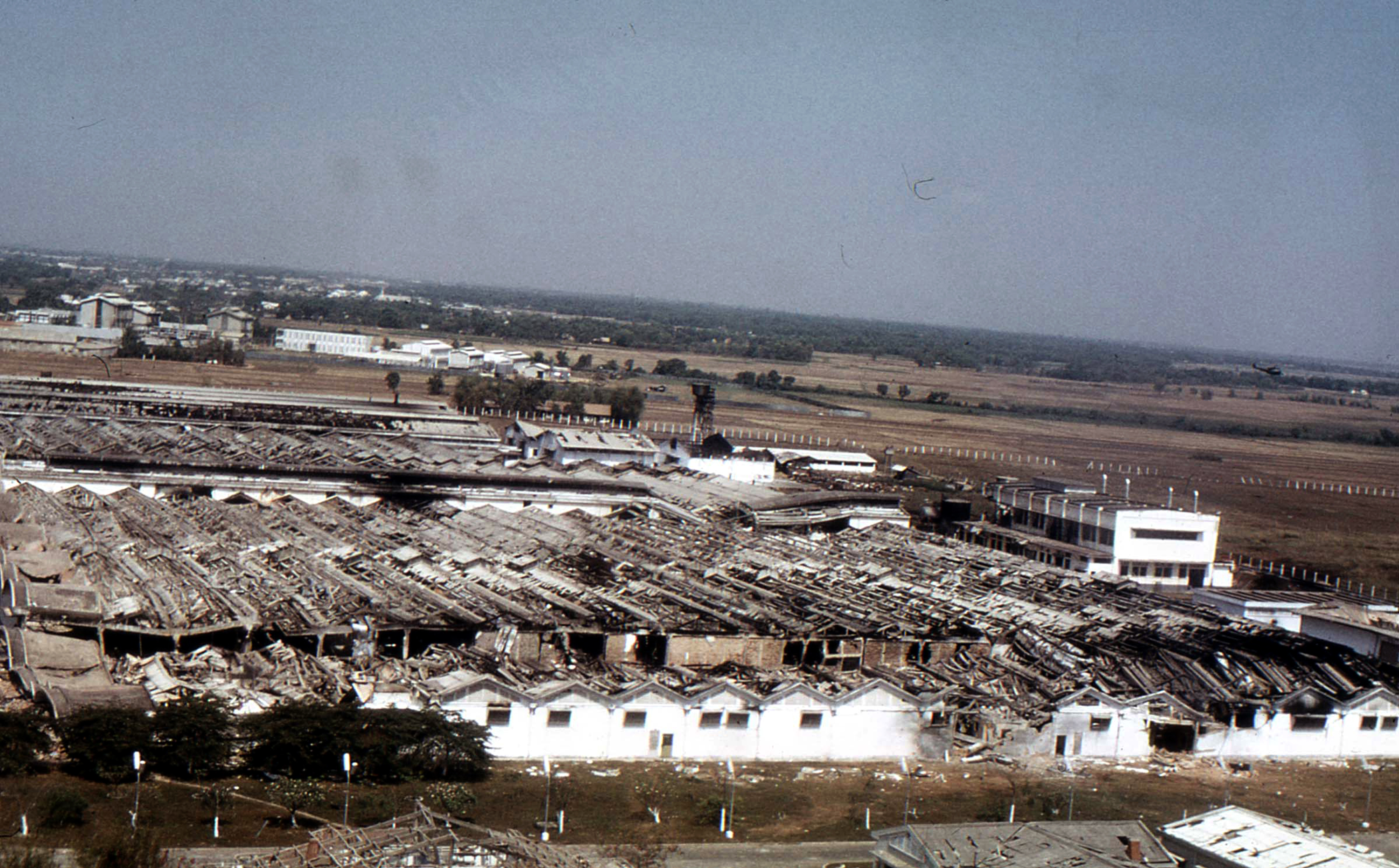
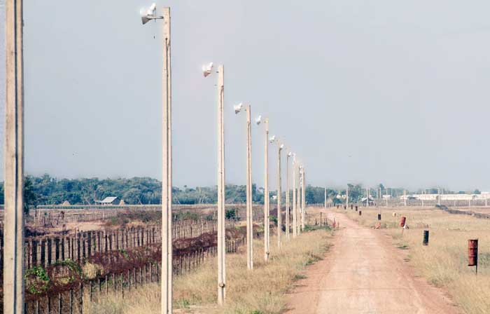
The photo below shows the perimeter lighting on the west end. The lights are facing outward.
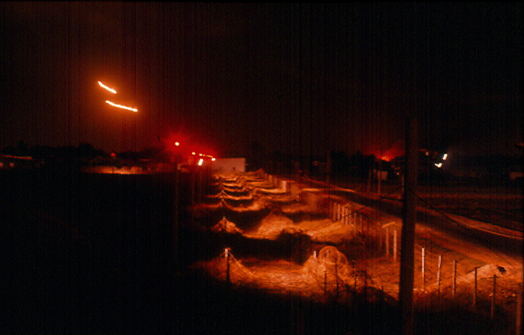
The photo below shows the perimeter lighting on the west end at night.
I am confirming that the original color photograph is an aerial photo of the west end of Tan Son Nhut Air Base, Saigon, Vietnam.
Charles Penley, 377th Security Police Squadron, Oct 1967 - Jul 1969